


July 9th, 2026; India: There has been a considerable rise in landslides all around the world as a result of climate change. The Indian Himalayan Region (IHR) is highly susceptible to such disasters due to this, which results in numerous slope failures and causes heavy casualties in terms of both lives and properties. To tackle this problem, scientists from the Indian Institute of Technology (IIT) Mandi have developed a fully functional LEWS system.
The research has been led by Prof. Dericks Praise Shukla from the School of Civil and Environmental Engineering, IIT Mandi, along with his research scholars Mr. Ankit Singh and Mr. Nitesh Dhiman.
A Landslide Early Warning System (LEWS) is a warning system which forecasts and monitors the probability of landslides based on data regarding the susceptibility of the topography along with rainfall in real time. LEWS issues warnings to the regions where landslide risks exists so that necessary precautions can be taken by the concerned authorities and disaster management bodies.
Highlighting the significance of the system, Prof. Dericks Praise Shukla said, “At the very onset of the monsoon, our Landslide Early Warning System (LEWS) provides daily landslide forecasts through a web-based application. The system is designed to help identify high-risk areas in advance, enabling authorities and communities to undertake timely evacuation and disaster preparedness measures.”
He further said that satellite-based early warning systems are among the most effective investments in disaster risk reduction as they transform scientific data into timely, actionable decisions. A region-wide landslide forecasting platform like this has the potential to significantly strengthen preparedness, enable faster response, and enhance coordination among disaster management agencies, particularly during the monsoon season when landslide risks are at their highest.
In contrast to other landslide early warning systems in India, which have their limitations in terms of the geographic scale, the LEWS implemented by IIT Mandi is applied throughout the Indian Himalayan region and hence one of the most extensive systems designed for the country.
The system has been created by the research group through a multi-stage approach. At first, almost 2,6000 landslides were identified from the Geological Survey of India (GSI) database to create a map of landslide susceptibility. A variety of landslide triggering factors were combined using ensemble machine learning models.
Following this, the P-RIL (Probability of Rainfall-Induced Landslides) model was constructed using information derived from the NASA Global Landslide Catalogue and seven rainfall parameters collected from IMERG satellite datasets. Since rainfall conditions are always changing, the P-RIL model is a dynamic one because it makes use of rainfall data from the past 15 days.
The final daily landslide prediction was calculated through the integration of the static susceptibility map and the dynamic P-RIL model based on probability analysis. For better interpretation of the predictions, percentile-based categories of risks are used.
The daily landslide forecast is derived using the probabilistic approach of combining the static susceptibility map with the dynamic P-RIL model. For making the outputs understandable for the users, the landslide forecasts are provided in terms of risk categories using percentiles.
To facilitate easy access and dissemination of information to the stakeholders, the IIT Mandi team has developed a Google Earth Engine (GEE) based web portal through which users can view landslide forecasts for the current day along with the previous three days. Furthermore, users can also download bulletins in PDF format and get WhatsApp alerts of the chosen locations.
According to the researchers, the operation of the Landslide Early Warning System will immensely help disaster preparedness and risk reduction initiatives within the region by giving out timely and location specific warnings to reduce economic damages.
Landslide Early Warning System can be viewed at:
https://dexter-499110.projects.earthengine.app/view/lews
About IIT Mandi:
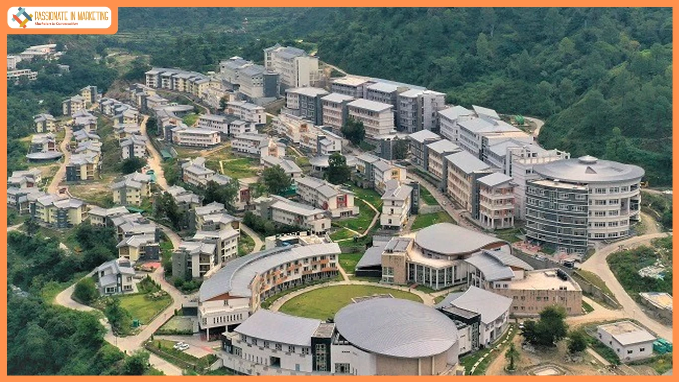
Indian Institutes of Technology Mandi is one of the top second-generation IITs located in Kamand Valley, Mandi district of Himachal Pradesh, India. It is one of eight new Indian Institutes of Technology (IITs) established by the Ministry of Human Resource Development, Government of India, and recognized as one of Institutes of National Importance. IIT Mandi’s permanent campus about 14 km (8.7 mi) from Mandi consists of the South and North campuses connected by a narrow neck. The South campus is on the left bank of the Uhl River below Kamand village. The North campus is along the Kataula Khad opposite Salgi village. A transit campus at Government Post graduate College, Mandi was handed over by the Himachal Pradesh Government on 16 November 2009. The Kamand campus ground breaking ceremony, to mark the start of construction, was held on 13 April 2012. On 25 April 2015, IIT Mandi became the first of all the new IITs to completely shift B. Tech students to its permanent campus in Kamand. Since its inception the institute has been involved with more than 275 Research and Development (R&D) projects worth more than ₹120 crore. In the past 10 years, the institute has signed Memorandum of Understanding (MoU) with as many as 11 international and 12 national universities.
Follow us on:
- LinkedIn – https://www.linkedin.com/school/indian-institute-of-technology mandi/?originalSubdomain=in
- Twitter – https://x.com/iit__mandi
- Facebook – https://www.facebook.com/IITMandi2009/
- Instagram – https://www.instagram.com/iitmandi2009?igsh=emViamxrbTgzNHc= • Youtube: https://www.youtube.com/@iitmandi7301

